GreenAI
Preparing your experience...
Preparing your experience...
Deploy autonomous tractors, laser land levelers, multispectral drone fleets, and AI field diagnostics directly to your farm acreage with certified support.
Select a service category below to view technical capabilities and request field deployment.
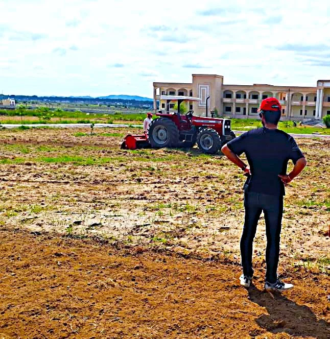 AGRICULTURAL IMPLEMENTS
Precision land leveling service using advanced laser emitter masts and hydraulic receiver scrapers for optimal water distribution, 20% water conservation, and uniform crop emergence.
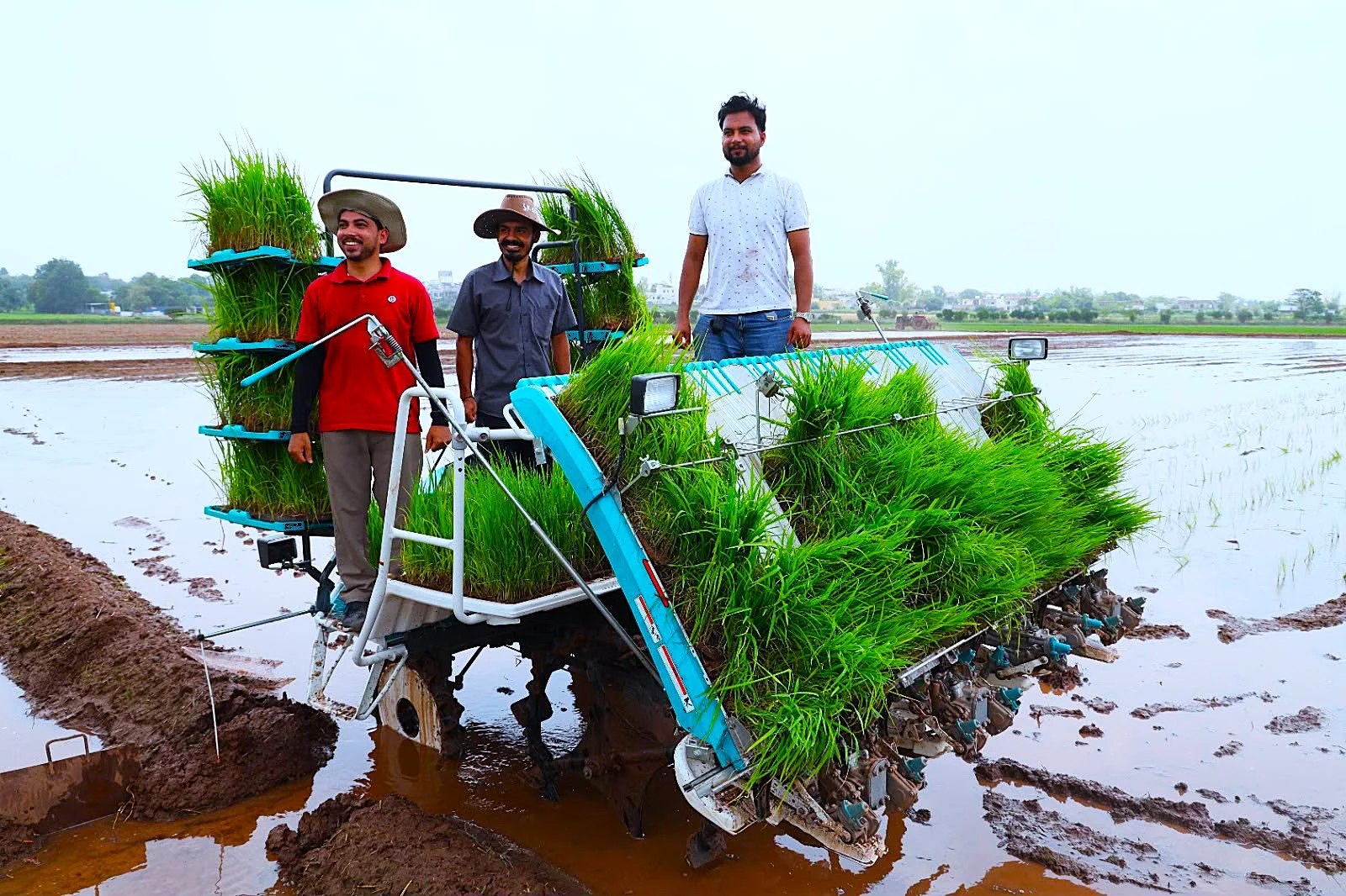 AGRICULTURAL IMPLEMENTS
Automated walk-behind and ride-on rice transplanting with mechanical planting claws for precise seedling spacing, zero transplant shock, and 70% labor cost reduction.
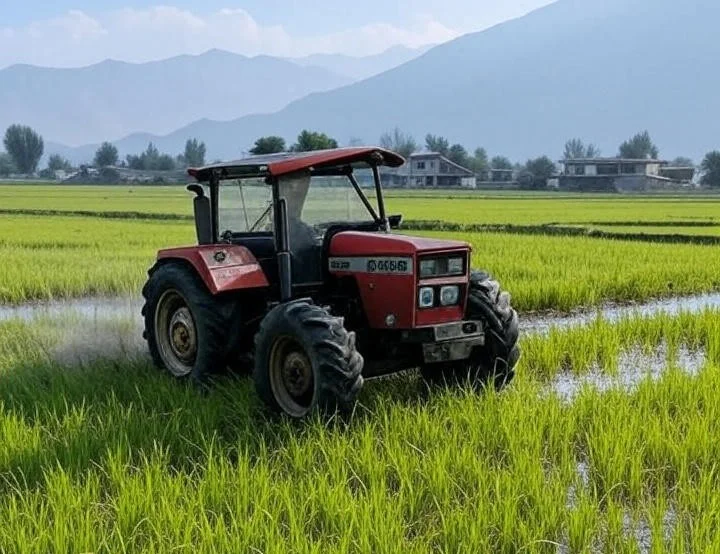 AGRICULTURAL IMPLEMENTS
Professional installation and calibration of GPS-guided auto-steering systems for tractors. Eliminates row overlaps, reduces driver fatigue, and enables 24/7 all-weather tilling.
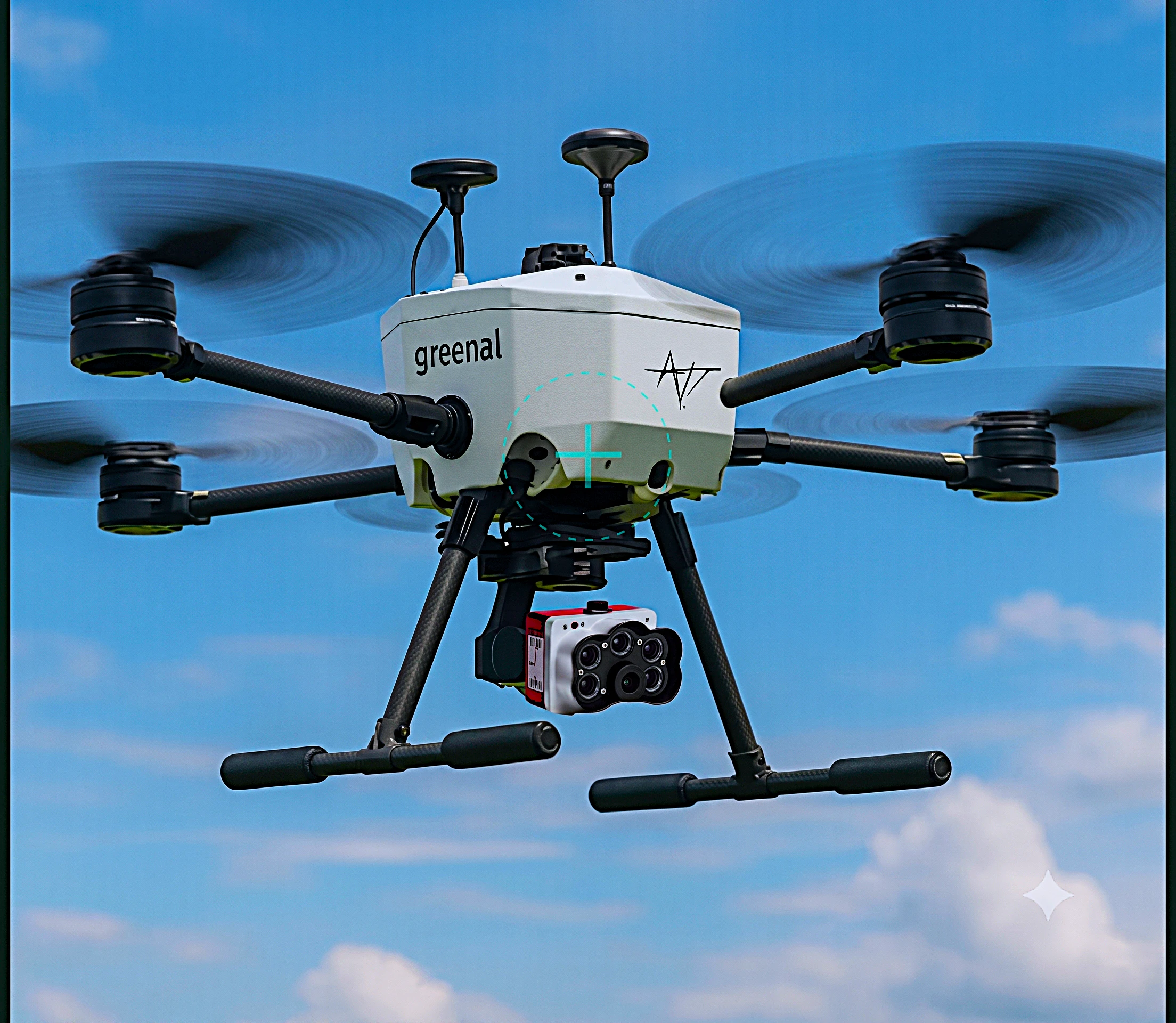 AIRBORNE & SOIL SENSING
High-resolution multispectral drone scanning designed for small-to-medium farms to monitor crop health, generate early stress maps, and calculate precise vegetation indices.
 AIRBORNE & SOIL SENSING
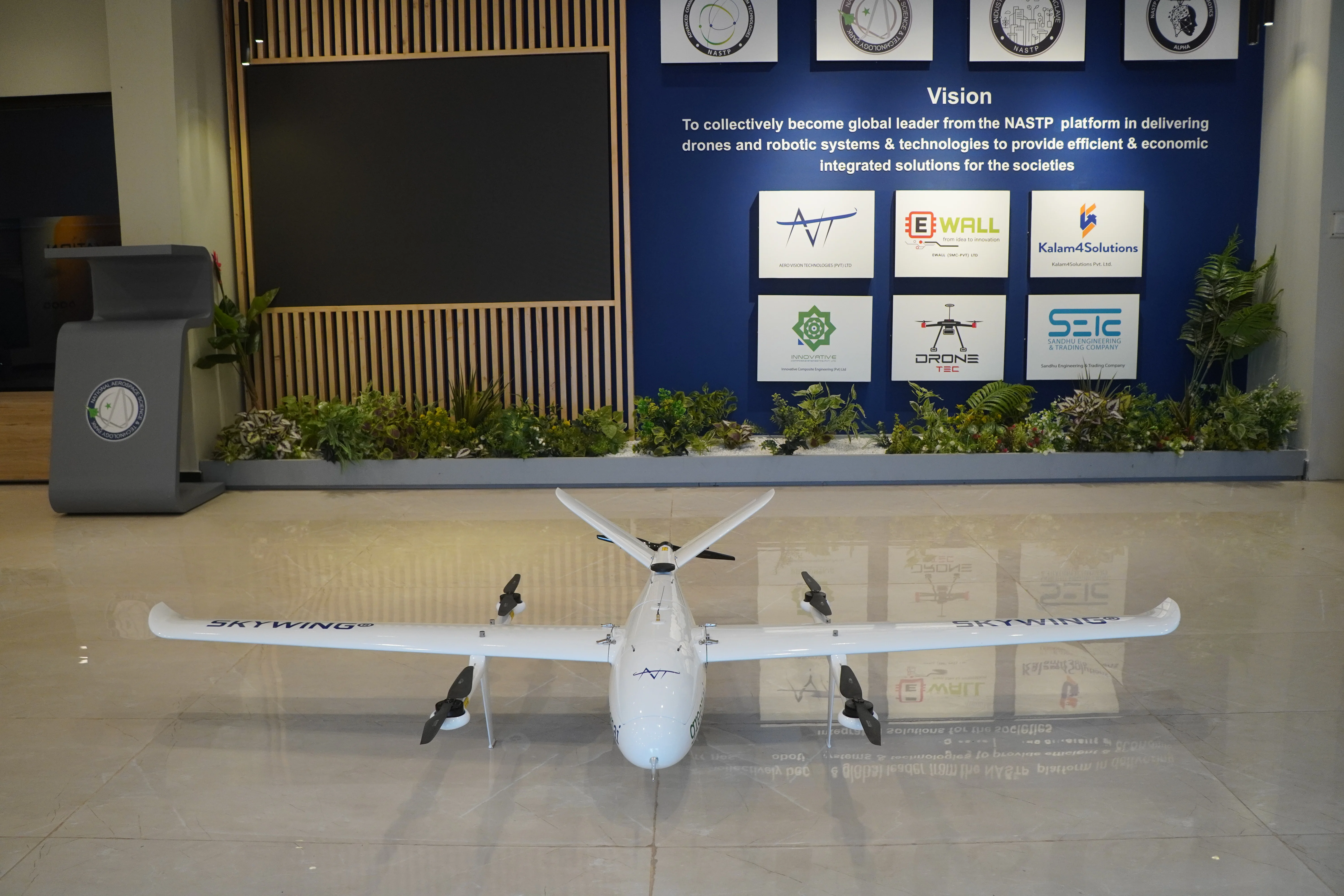
Comprehensive VTOL fixed-wing aerial scanning for large-scale enterprise agricultural operations. Delivers rapid 1,000+ acre mapping per flight with full digital twin integration.
 CLOUD & COMPUTE SERVICES
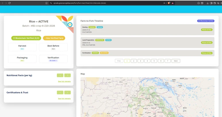
Enterprise agricultural cloud infrastructure for storing, analyzing, and querying high-volume IoT telemetry, soil sensor streams, and aerial drone imagery with 99.9% uptime.
 AIRBORNE & SOIL SENSING
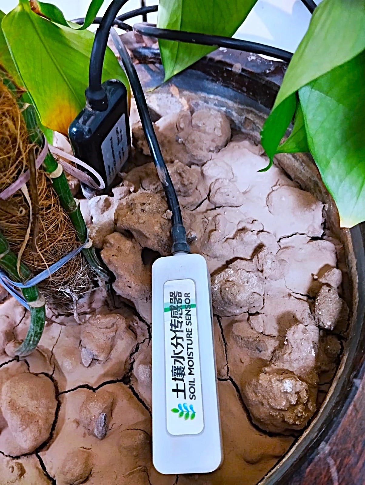
Continuous real-time soil moisture probes measuring root-zone water availability to optimize irrigation schedules and eliminate deep percolation waste.
 AI CROP ANALYTICS
Advanced crop yield forecasting leveraging GIS satellite remote sensing, localized climate history, and AI growth curves to predict harvest volume per acre.
 AI CROP ANALYTICS
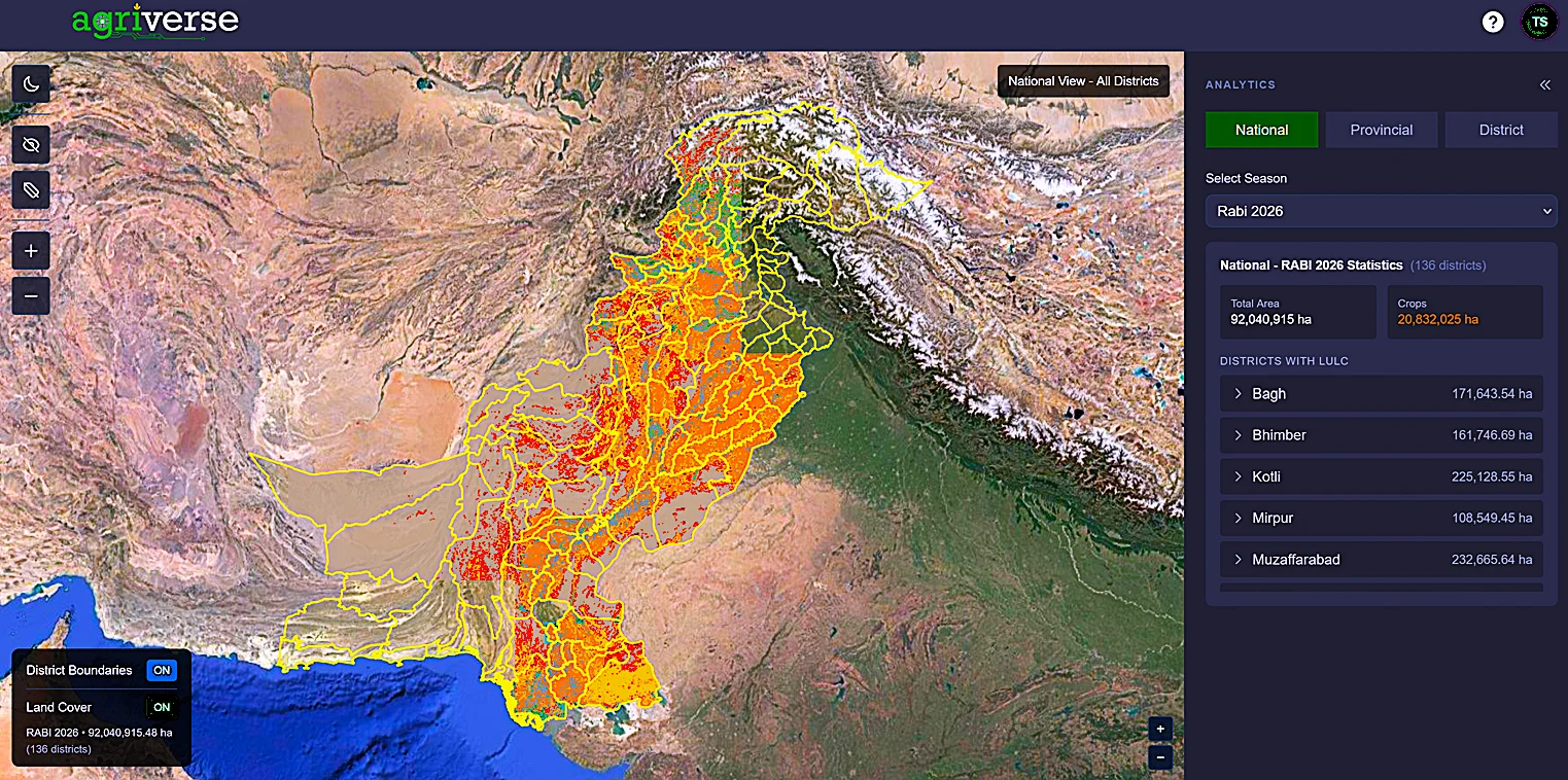
Satellite remote sensing technology for automated cropland classification, field boundary detection, and crop type identification across regional sectors.
 AI CROP ANALYTICS
Early-warning crop health system measuring NDVI, NDRE, and EVI indices to detect nutrient deficiencies, disease vectors, and water deficits before visual symptoms appear.
High-performance computing cluster processing complex computer vision AI models, large-scale GIS satellite rasters, and regional microclimate simulations.